

Map And Location


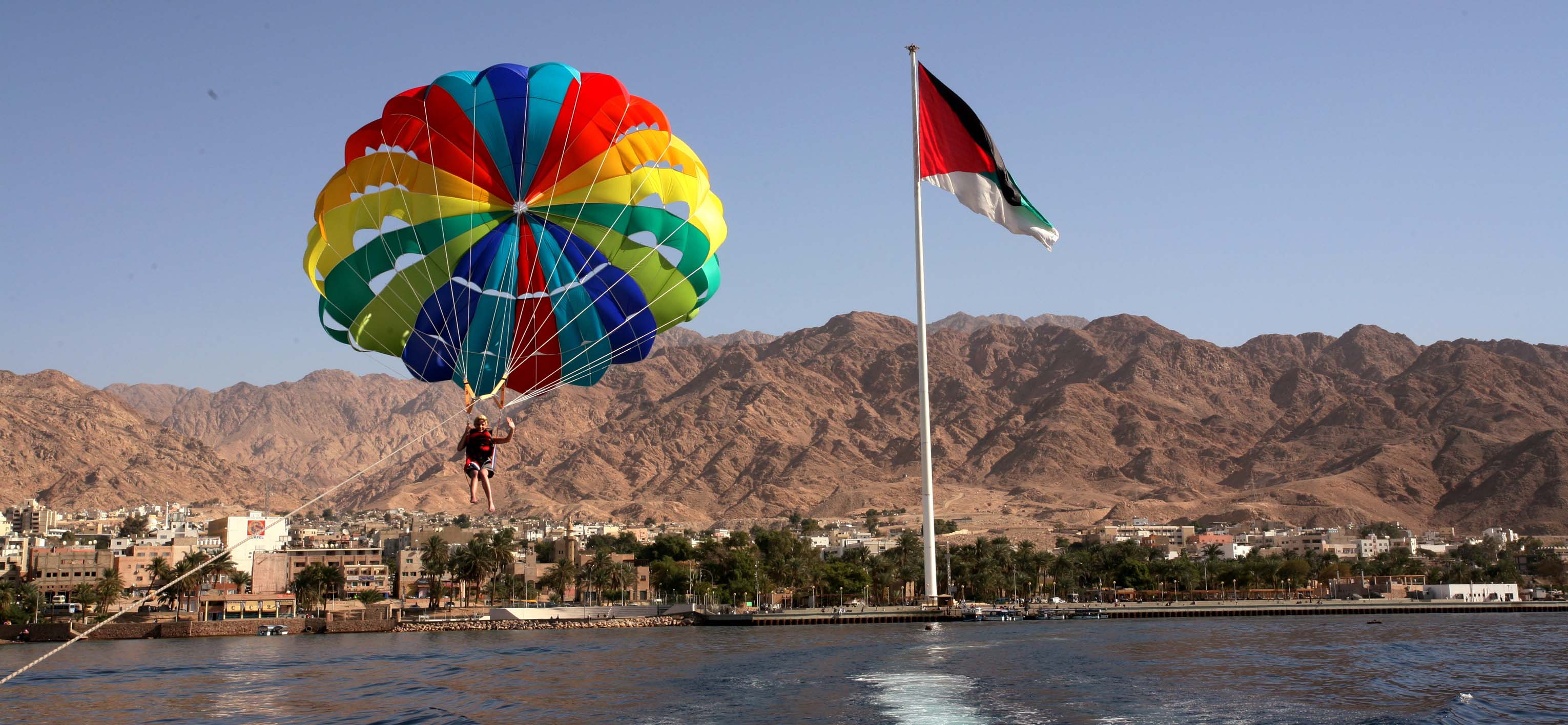
Aqaba is a coastal city located on the southern tip of Jordan and at the head of the Gulf of Aqaba and bordered on the west by Israel’s Eilat city. It is the capital of Aqaba Governorate with a population of approximately 100,000 in 2006. Aqaba is strategically important to Jordan as it is the country’s only seaport. The city is best known for its year long warm weather, beach resorts, spectacular coral reserves and world-famous scuba diving.
In 2001, the Government of Jordan created the Aqaba Special Economic Zone (ASEZ) which is a duty-free, low-tax multi-sectoral development zone with a total area of 325 sq km encompassing the total Jordanian 27 km coastline, the sea port of Jordan, the KHIA and the historical city of Aqaba. ASEZ is regulated by the Aqaba Special Economic Zone Authority (ASEZA).
The Government of Jordan and ASEZA also established the Aqaba Development Corporation (ADC) in 2004 to be the central development corporation for the ASEZ. ADC owns the sea port, the KHIA and strategic parcels of land including the development/management rights for these assets as well as key infrastructure and utilities.
The KHIA is located approximately 9 km north of Aqaba city and has a land area of about 24,550 dunams (2,455 hectares). It is bounded by the Dead Sea Highway on the east, the international boundary with Israel on the west, and the undeveloped land of ADC on the north. The southern boundary of the airport is approximately 2 km from the northern edge of the existing development in the northern suburb of Aqaba city.
The airport is at 53 m (175) above mean sea level (AMSL), and the airport reference point (ARP) or the designated geographical location of the airport is at latitude 293641.82613N and longitude 350105.03805E.
Live Map Of KHIA